National Wolf Action Plan (PNA Loup)
Discover the official page of the National Wolf Action Plan by clicking here
Legal and political context
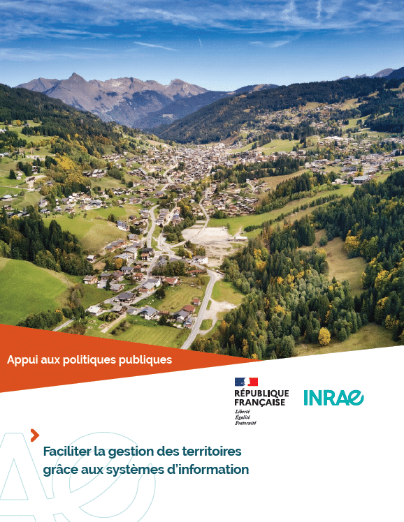
Content taken from the “Facilitating land management using information systems” dossier
The presence of the wolf on French territory has been taken into account in a number of public policies: the 2014 Law on the Future of Agriculture, Food and Forestry, the 2016 Law on the Reconquest of Biodiversity, Nature and Landscapes, plans to safeguard pastoralism, and the inclusion of the animal as “vulnerable” on the International Union for Conservation of Nature (IUCN) red list. These are all legislative frameworks with which elected representatives, breeders and shepherds have to contend.
Action 6.1 of the 2018-2023 national wolf plan calls for real-time information on attacks to be shared between farmers, shepherds, the OFB (formerly ONCFS1), managers of protected areas and DDTs, and even suggests technical solutions (radios, SMS alerts, etc.). The first system for tracking and mapping wolf attacks was commissioned by the Union pour la Sauvegarde des Activités Pastorales et Rurales (USAPR), a group of 150 mayors, the Société d’Economie Alpestre de Savoie (SEA73) and the Fédération des Alpages de l’Isère (FAI38), and received regional funding from USAPR. A first version of MapLoup was thus developed and tested in 2017. The departments of Isère, Savoie and Drôme were thus the first to benefit from this scheme.
Science needs and INRAE contributions
Content from the “Facilitating land management through information systems” dossier
Data and information systems are a strategic interface for both public policy and research. They provide a multi-faceted approach to issues of sustainable regional development, making them a useful decision-making tool. Numerous INRAE teams contribute to their development and use in research and in support of public policy.
In the 1980s, the Ministry of Agriculture launched the Observatoire de la montagne (mountain observatory) with the help of INRAE Grenoble, initiating the development of geomatics skills. These skills underpinned research into regional development and the deployment of tools to support public policy. INRAE’s Laboratoire des ÉcoSystèmes et Sociétés En Montagne (LESSEM) in Grenoble is particularly committed to this approach. Indeed, one of the objectives of the laboratory’s research is to help local players manage their territories, in particular through the SIDDT (Territorial Information System), which is used to draw up enhanced territorial diagnoses, and the Maploup mapping and warning tool for stakeholders in pastoralism in mountain areas.


